One Day/Night in Chaco Culture National Historical Park, New Mexico
Last week we drove from the Bisti Badlands to Chaco Culture National Historical Park -- a very cool park full of ancient ruins from around 1,000 years ago when the canyon it lies in was a bustling town full of people from far and wide.
Getting To Chaco Culture NHP
According to Google Maps, it shouldn't be that far to Chaco Culture NHP, just 1 hour and 42 minutes, but we soon learned that it would take much longer. It turns out that all of the roads in and out of the park are dirt for many miles and can be treacherous to pass. We wished we knew that when we started!
Important note: You shouldn't trust Google Maps getting here because, in our experience, these county roads are represented accurately. We had several instances where Google told us to "turn right" when there was no road there. You should consult a map from the state or the national park when charting your course to Chaco Culture NHP, especially if coming from the north where there are many small county roads you will travel on.
From Points North
See the official park service directions here.
Whether you start near Nageezi, NM on Highway 550 or from the east on Route 371, you will need to drive on several county roads, eventually ending up on county road 7950 to enter the park. What was surprising to us after we punched this into google... was that all of these roads are dirt and pretty rough! These roads had tons of tiny ridges all over and made it so we never wanted to drive faster than 10-15 MPH. We didn't even have a word for roads like this until we got to the park and heard others describe them as "washboard" ...which is the perfect descriptor. It took us forever, but we were able to navigate this road and get there.
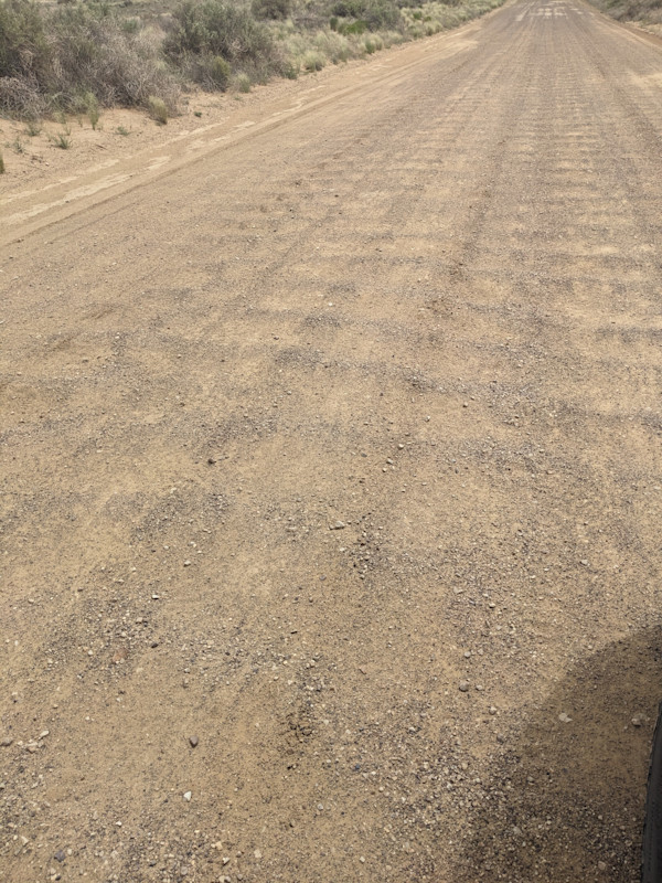
Washboard road...not abs
From Points South
When it was time for us to go, we ask the rangers how the road out to the south would be, because that was where we were headed. They said that taking Highway 57 south would be the fastest way, but that the roads were even worse than the way in from the north! We really wanted to get to our next stop so we took deep breaths and headed that way. Thankfully, that wasn't our experience.
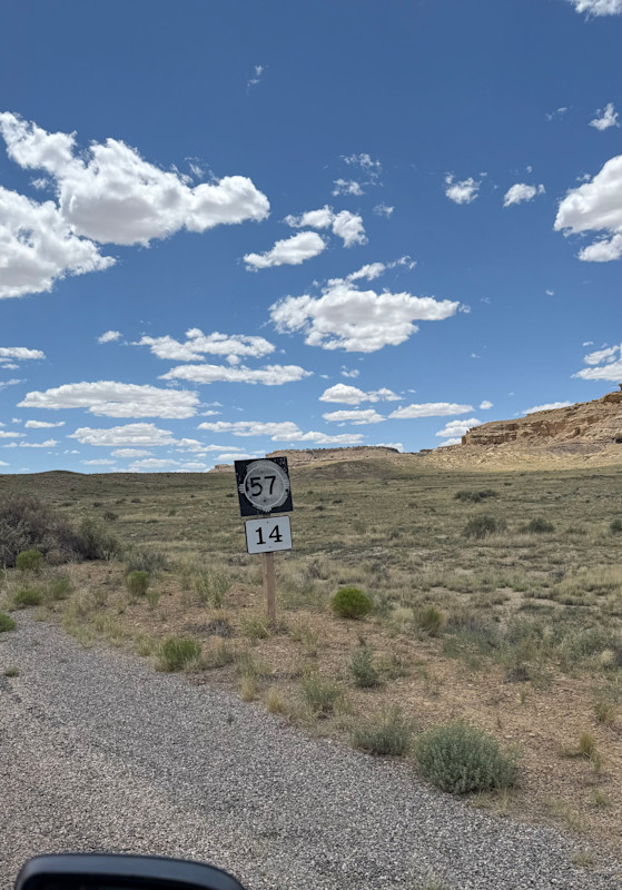
Here we gooo -- Highway 57!
The road starts off paved for about 3 minutes, and then drops off into washboard dirt. A sign warns that this road may even be impassable at times. Yikes!
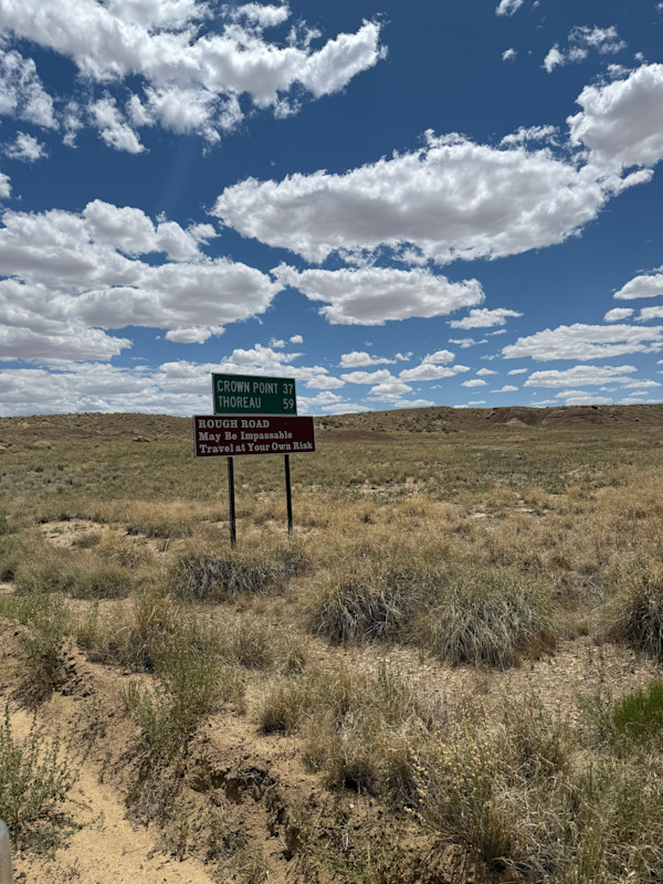
Impassable!
While this continued for 20-something miles, it wasn't sooo bad. We didn't particularly enjoy driving on this road, but we found it doable, and even a bit smoother than the CR7950 we had to take to get to Chaco. We were fortunate, however, that it hadn't rained in a while. That might change things. But you can do this!
Camping in Chaco Culture NHP
We camped at the one and only campground in the park, Gallo Campground. This campground has 26 individual sites; you'll want to reserve online before you get there. The campground was nice with standard amenitites -- a bathroom with flush toilets, water, trash service (including recycling!).
The best part is that there's a good view of the canyon all around, and even some ruins right there in the campground you can check out.
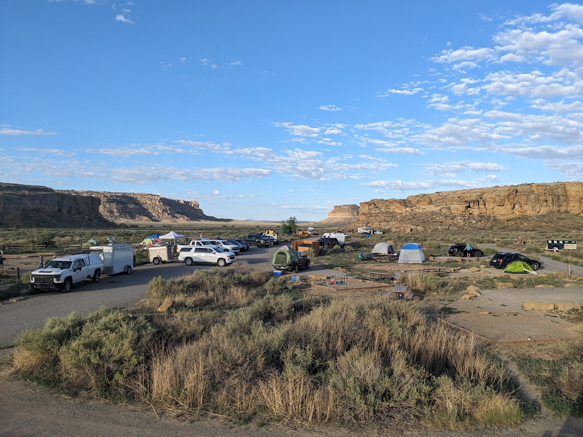
Gallo Campground
Main Loop Drive and Sights with Short Walks
Chaco Culture NHP consists mainly of a 9 mile loop drive that starts near the visitor center, and contains stops at several ancient pueblo dwellings, with varying amounts of walking to explore. You can also access backcountry trails from along this drive, but we'll get into those below.
Here are the main stops on the loop drive:
Una ida - A great house. 1 mile hike, a bit rocky with some petroglyphs, starts at visitor center.
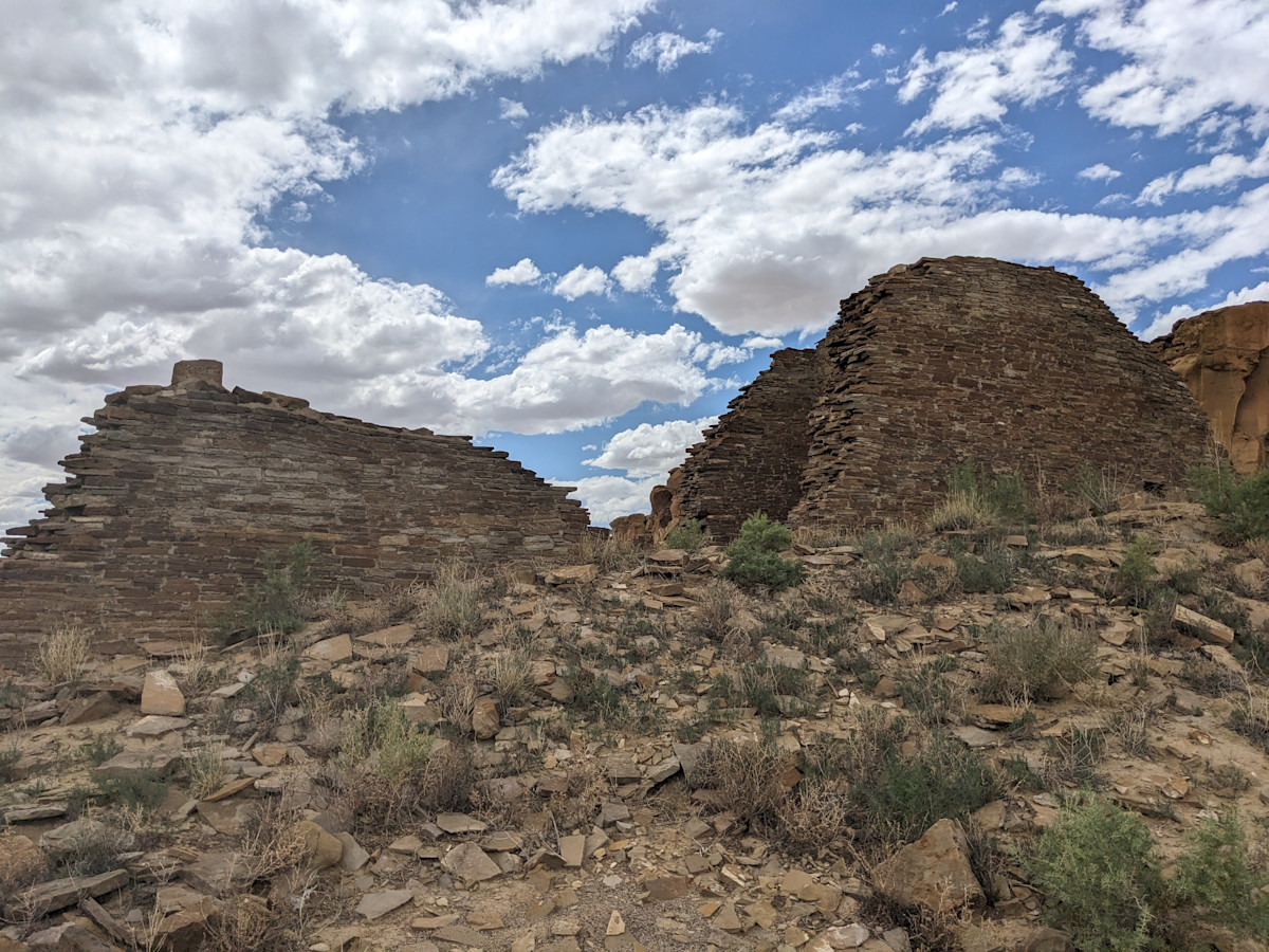
Hungo Pavi - An unexcavated great house, no major walking since the house is close to the parking area
Chetro Keti - second largest great house, 3 acres large, 0.5 mile trail. You can walk from here to pueblo bonito and see some petroglyphs in between.
Pueblo Bonito - The crown jewel of this park and most visited site. 0.5 mile hike around it. You can go inside some rooms and climb under the ancient doorways. We really enjoyed exploring here.
Pueblo Del Arroyo - Another great house! A 0.25 mile hike.
Casa Rinconada - A collection of houses, 1 mile loop.
We ended up stopping to see Hungo Pavi, Chetro Keti, and Pueblo Bonito. These felt like a good number and fit into the time we had on our first day that we entered the park. It felt like we got a good feel for the place and could reflect on what it was really like 1000 years ago when it was inhabited.
Hungo Pavi
Trails
For the second day in the park, we decided to do a hike, but we only had time to do just one before we needed to leave the area! Here are the main hikes to choose from:
Wijiji Trail - The shortest at 3.8 miles (6.1 km) round-trip. Leaves from campground. Flat. This trail leads to Wijiji, a later-period great house built around 1100 CE (common era).
South Mesa Trail - approximately 4.5 miles (7.2 km) - this loop leaves from the Casa Rinconada parking area. Elevation change - 600 feet (183 meters). Climbs to a high point on South Mesa and leads another great house called Tsin Kletsin.
Pueblo Alto Trail - a 5.5 mile (8.9 km) loop. Leaves from the Pueblo del Arroyo parking area. Elevation gain of 600 feet (183 meters). Has great overlook views of Pueblo Bonito and other great houses, as well as takes you to Pueblo Alto (more ruins at the top of the canyon) and passes by some ancient Chacoan stairs leading out of the Canyon. This is the hike we chose!
Peñasco Blanco Trail - the longest backcountry hike at 7.5 miles (12 km) round-trip.
Our Experience Hiking the Pueblo Alto Trail
We went with this trail because it is touted as the most popular hike in the park, and it seems like just the right distance for the time we had!
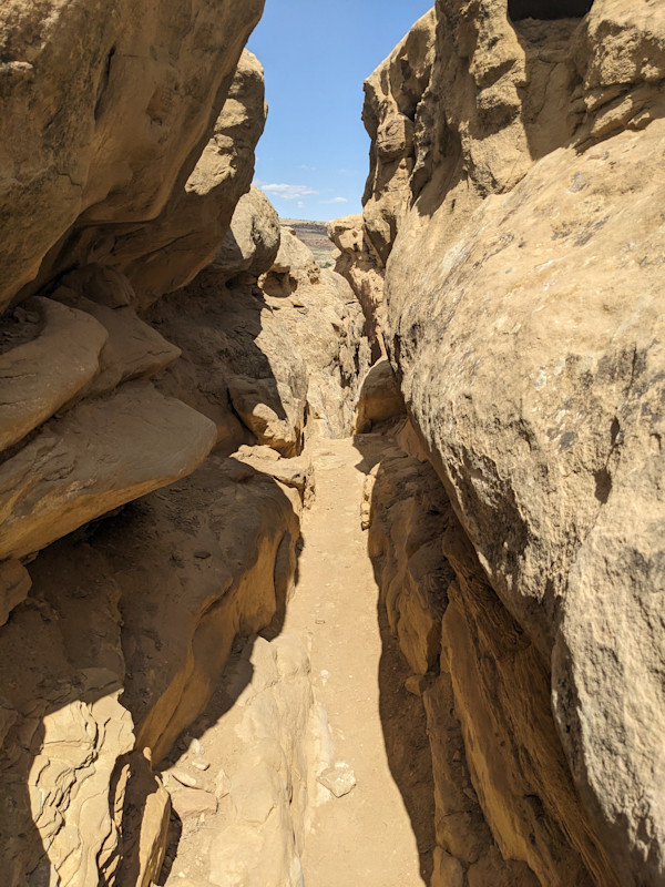
It starts with a quick scramble up the rocks to the top of the canyon, and gets pretty narrow and tricky in a few places.
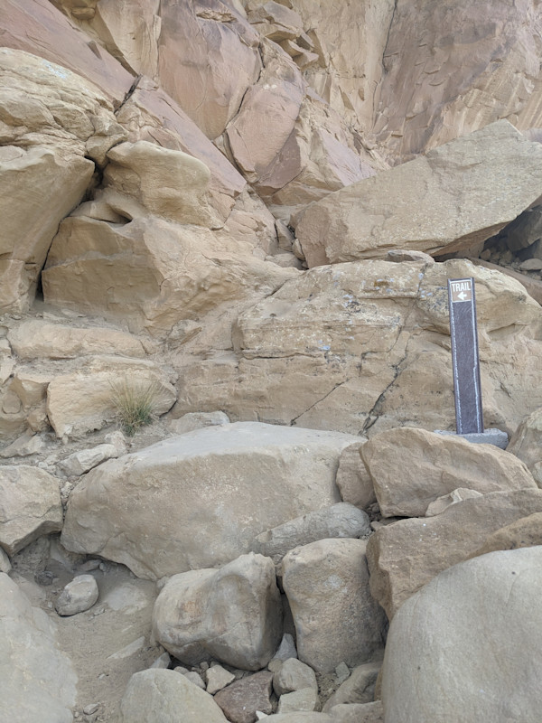
Trail goes up these rocks, ok?
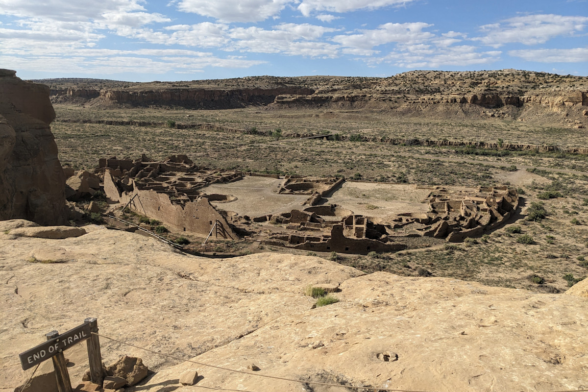
Once you've reached the top, it's not long before you get this excellent view of Pueblo Bonito from above. It becomes a lot easier to imagine what it was like when it was a busy city full of people. It's really cool to be able to see it all at once and the shape that it takes.
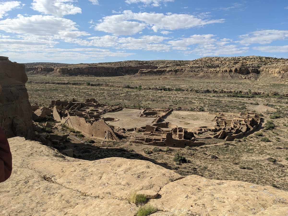
Pueblo Bonito from Above
Next you are directed to Pueblo Alto, another ruined great house at the top of the Canyon wall. First you'll come across a different great house, New Alto. This one seems a bit more in tact. Next, you'll reach Pueblo Alto. It is one you can walk right up to and explore all around. Very cool to see that they built several houses here on the way out of the canyon in addition to all the buildings inside it.
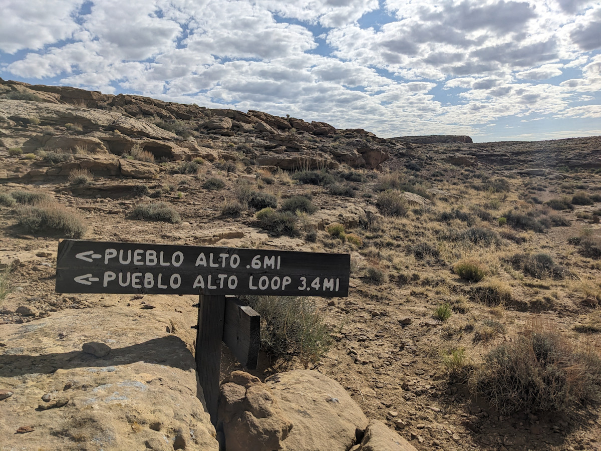
This way to Pueblo Alto
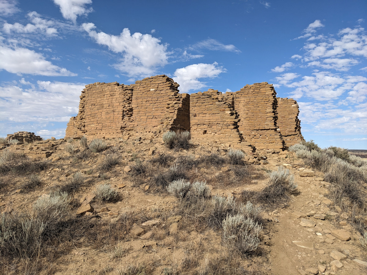
New Alto
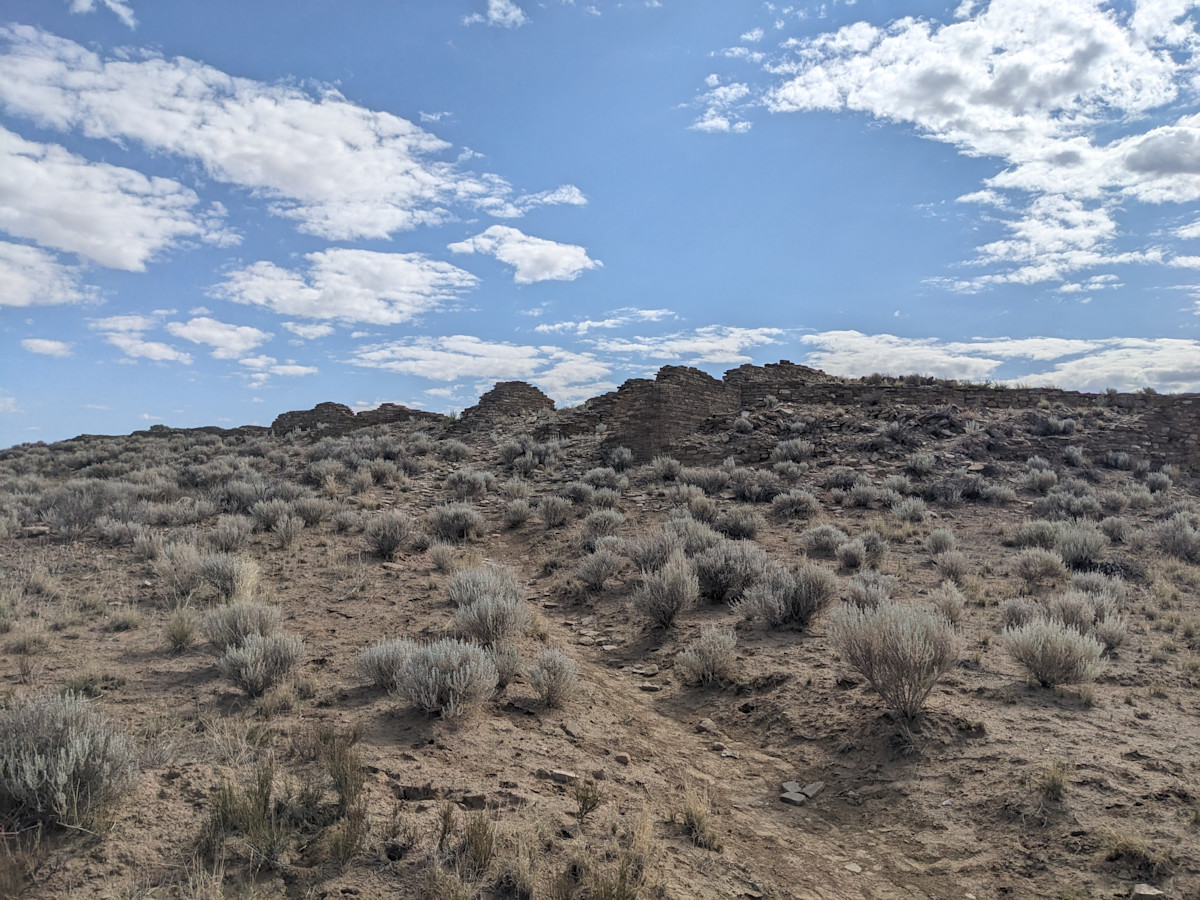
Pueblo Alto, not the best picture...
You continue walking around the canyon, and eventually come across some ancient stairs which are cool to see. These folks just walked straight up the side of the canyon, it's hard to imagine.
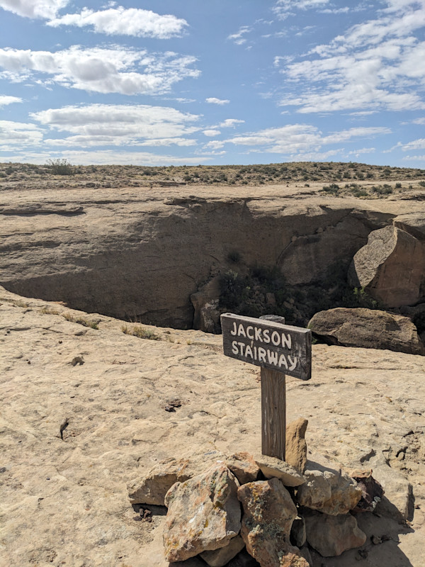
Ancient Stairs
From there, you descend to a lower level, and go back around a large bend in the canyon wall that you walked around before to get here. Eventually we went back down the steep scamble part where we came in. It was a bit tricky but we made it down!
Time to squeeze
We were all thrilled and ready to hit the (bumpy!) road. We enjoyed our visit to Chaco Culture NHP. Just take it easy and make lots of time on the rough roads to get here!